Is the hut open?
plus trails, lakes and peaks across Bulgaria's mountains
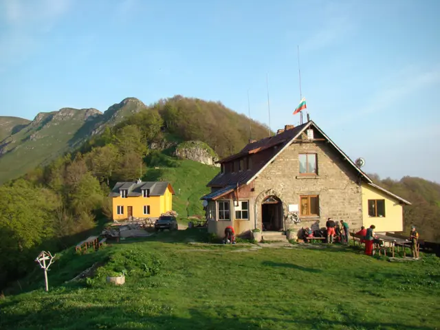
Mazalat Hut
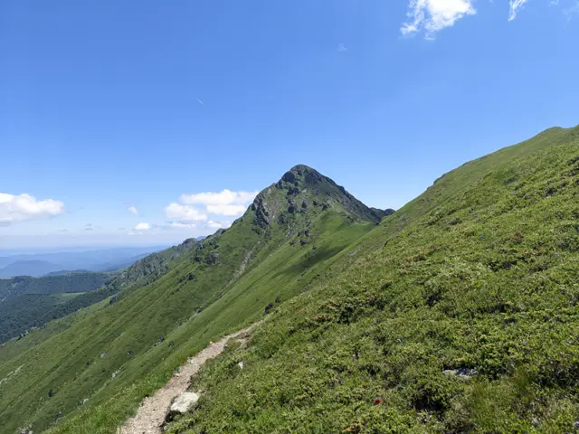
1511 mMazalat Hut is located on the main ridge of the Balkan Mountains (Stara Planina), in the Mandrishteto area. Opposite it is the Triglav Massif, which branches off from the main ridge to the south. The hut is part of the Kom-Emine trail, the Bulgarian section of the European long-distance path E3
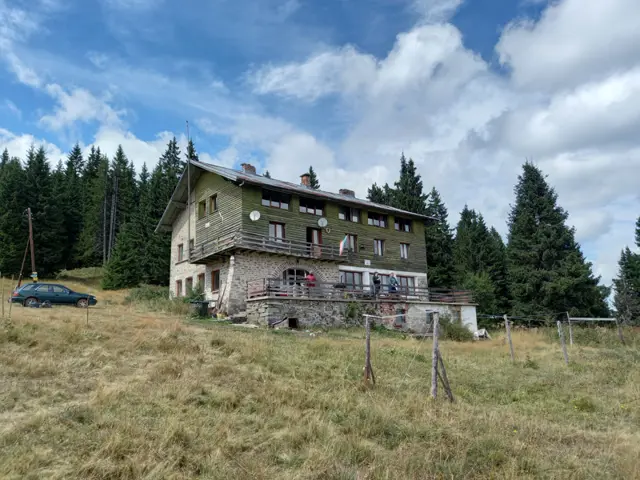
Prespa Hut
1802 m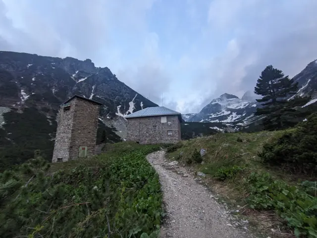
Malyovitsa Hut
1976 mMalyovitsa Hut is located in Northwestern Rila, in the valley of the Malyovitsa River, at the foot of Malyovitsa Peak. The hut is a point on the E4 European long distance trail.
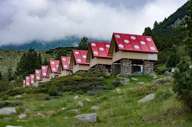
Spano Pole Shelter
2055 m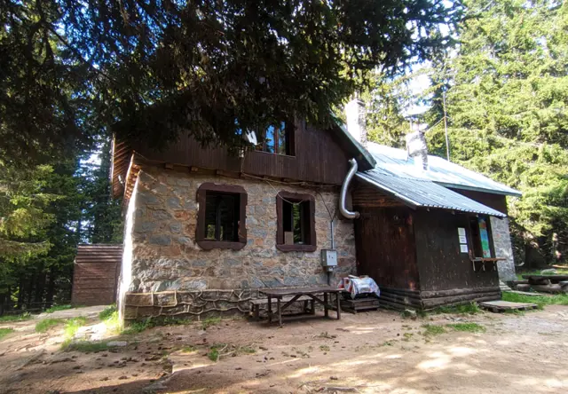
Edelweiss Hut
1670 mLocated among a coniferous forest in the Machovoto area, not far from Ostritsa peak.
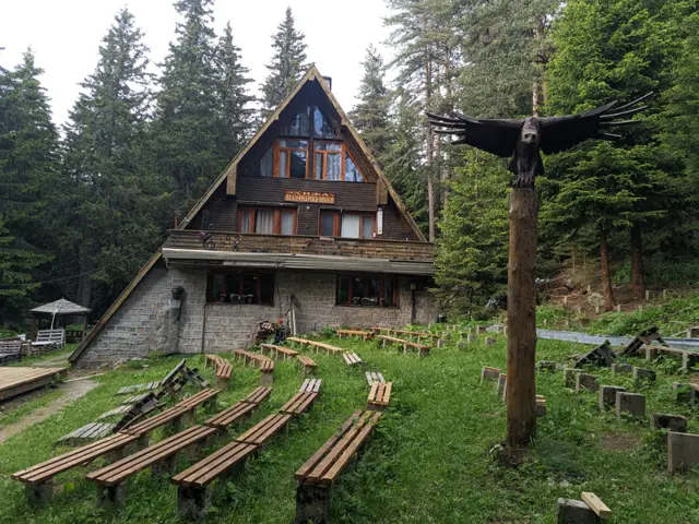
Planinarska Pesen Hut
1692 m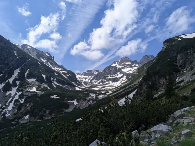
Trails
 Moderate
This is the most popular summer route for climbing the highest peak in the Balkans.
 Росен Пантелеев
 Easy
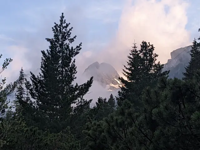
EasyThis is the classic trail to Malyovitsa Hut from the former Central Mountain School (ЦПШ). The trail follows a dirt road, paved with gravel and stones, which goes through a coniferous forest along Malyovitsa River. An easy trail, suitable for children.
Росен Пантелеев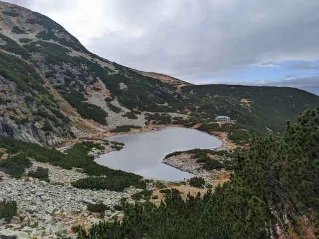 Moderate
The hike to Belmeken Peak begins with an easy stroll along the shore of Ravnichalsko Lake, which serves as a perfect warm-up for the steep section ahead. But don’t worry - the incline is short, and the rocks underfoot are relatively large and stable. Afterward, we emerge onto a pleasant grassy saddle, offering a bit of time to catch our breath along a nearly flat stretch before the final push to the summit. While this final climb follows a (mostly) grassy path, it is steep-ish and not exactly short. However, once we reach the top, we will be able to see a huge part of the Rila and Rhodope mountains. If we descend slightly down its southeastern slope, we can look down on the Belmeken Reservoir from above. Wild goats are often spotted in the area, and if we get lucky, we might even see the ground squirrel - the elegant cousin of the marmot - whose highest habitat in the Balkans is right here around the peak.
Росен Пантелеев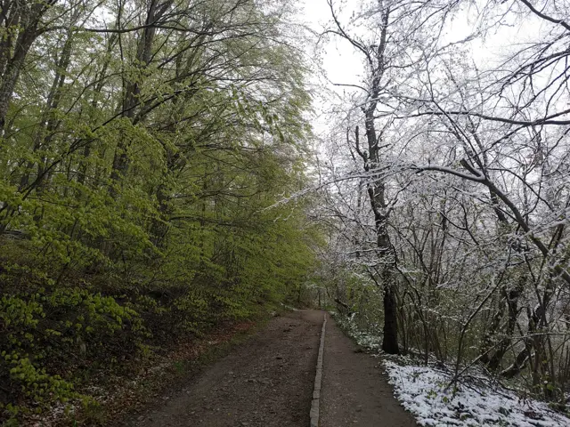 Moderate
The hiking path from Knyazhevo to Golden Bridges Stone Run is probably the most popular in Vitosha. The current route follows it to the Beli Breg area, and then it turns towards Septemvri Hut.
Росен Пантелеев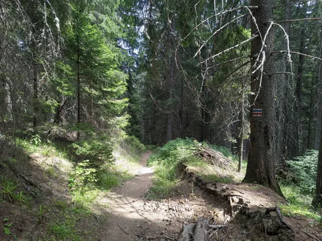 Moderate
A trail through the forest, suitable for both summer and winter. If you are in the meadow in front of Lovna Hut, you need to go around the building from the right, and at the edge of the forest there, you will see the sign for Vada Hut. Head into the forest and pass by the water turbine that supplies the hut with electricity. The Dzherman River will be on your right, which you will soon cross via a small wooden bridge. After the bridge, there is a short ascent through the forest, after which you will descend to one of the many dirt roads in this part of the Rila Mountains. You turn right along this road and keep following it until you reach the first left turn, where you will find trail signs and an information board. There, continue straight through the forest on either of the two paths ahead of you - the left path is gentler, and the official trail markings follow it, but judging by how not-really-well-trodden it is, people seem to prefer the steep path that climbs straight up. After a short and steep climb, you will emerge at the junction where our trail merges with the blue markings coming from the Seven Lakes Hut. Continue straight ahead along the dirt road that descends steeply through the forest, and follow it until you reach the small bridge over the river next to Vada Hut. This is the Pravi (Straight) Iskar River - one of the many tributaries of the Iskar River. Shortly after the bridge, you will see the hut itself.
Росен Пантелеев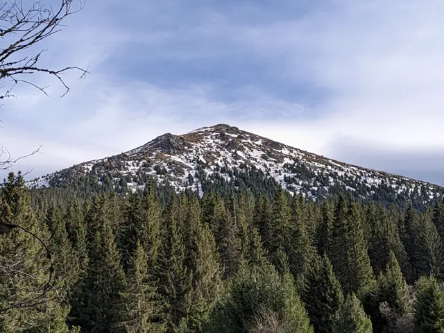 Moderate
The trail is quite steep in the section from Vezhen Hut to the fork for Benkovski Hut.
Росен Пантелеев