Hotel Alpinist – Mechit Hut
Home/Trails/Hotel Alpinist – Mechit HutRate

Hotel Alpinist – Mechit Hut

Hiking·16.43 km·5 h 44 min·1272 m

This is a long ridge trek through the eastern part of the Malyovitsa region of Rila. We will pass by Yonchevo Lake and above Upper Lopushko Lake, then cross Lopushki and Mechit peaks. From there, we will see Musala Prak, the Skakavtsi ridge, and Lake Jozola - which has recently become popular as 'the most difficult-to-access lake in Rila' and has caused more than a few people to get lost. We won't…

Elevation profile

2699 m2209 m1719 m
2699 m1719 m
0 km8.2 km16.43 km

Waypoints

Segments

Ascent / descent↑459 m ↓68 mTechnical difficultyT2Fitness difficultyMarking typeColor marks · SignpostsTerrainAlpine · ForestSurfaceDirt path

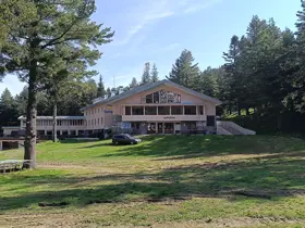
We set off along the trail to Strashnoto Lake, which begins from the asphalt road in front of Hotel Malyovitsa. We walk uphill through the forest until we reach the ski slope buildings, and then continue up the slope itself, keeping an eye out for a left turn that we need to be careful not to miss. What follows is a pleasant walk along a flat forest path, which ends with a short but steep descent to a small river. In early summer, the water can be quite high, and crossing it might require wading through.

This is Dolna Preka Reka, whose tributaries flow down from Svinskoto Lake and the slopes north of Strashnoto Lake.

Once we cross it, we face a climb that gradually gets steeper, turning into a strenuous exercise by the time we break out of the tree line. Fortunately, the ascent is short. It is followed by a descent and then a slight climb, where we will cross the river coming down from Yonchevo Lake - Sredna Preka Reka - for the first time.

A bit further up past the stream, hidden in the high grass to the right of the path, is a small water fountain. As far as I can remember, it is the last one along the way. The water from it can be slightly cloudy, but people drink it and seem to be perfectly fine.

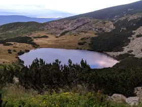
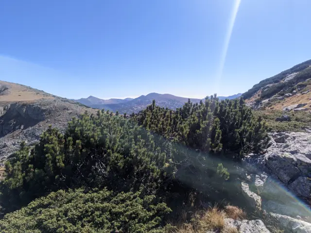
We cross the stream once more, and from this point on, it is a very easy and pleasant climb to the lake. The dwarf pine grows denser the closer we get, but eventually, a wide meadow opens up right before the shore. There, we must leave the trail to Strashnoto Lake, which continues to the right and is marked in blue. Instead, we will head left, following the green trail markers.

Download segment GPX
Ascent / descent↑354 m ↓0 mTechnical difficultyT2Fitness difficultyTerrainAlpineSurfaceDirt path · Rocky

We have a rather long climb ahead of us toward Popova Kapa. Our trail does not go over the summit itself, but if we have time, we can take a detour to it (it’s a meadow, albeit a steep one) to get a view of Strashnoto Lake from above.

Below the peak is the junction where the trail from the Popovakapski Pass coming from Strashnoto Lake merges with ours. Here, the trail markings split - the red trail descends past the Popovakapski Lakes toward Kobilino Branishte, while the yellow one (our route) heads toward Lopushki Peak. The quality of the trail blazes here might not be great, so even if we don't spot them, we should simply head in the direction of the summit.

Download segment GPX
Ascent / descent↑250 m ↓10 mTechnical difficultyT2Fitness difficultyTerrainAlpine · MeadowSurfaceDirt path

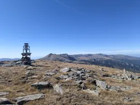
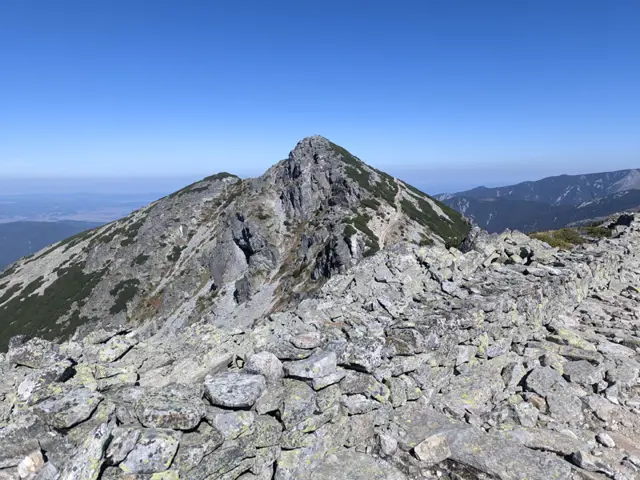
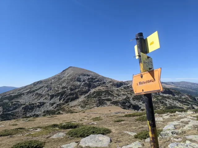
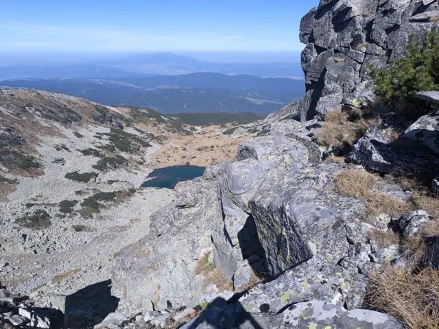
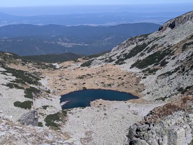
Here we walk mostly over grass, with rocky patches starting to appear as we approach the peak. At some point, we will see Upper Lopushko Lake from above. It will appear on our left, beneath the steep, rocky northern slopes of the summit. The peak itself, however, is rounded, and once we reach it, we will see an old meteorological structure that nowadays serves only as a "pyramid" marking the summit point.
Download segment GPX
Ascent / descent↑213 m ↓351 mTechnical difficultyT2Fitness difficultyTerrainAlpineSurfaceDirt path · Dirt road

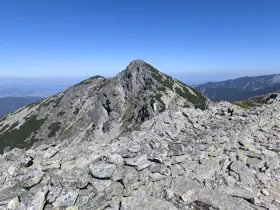
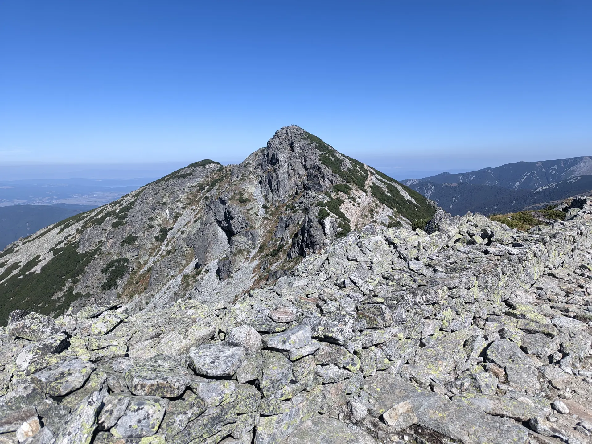
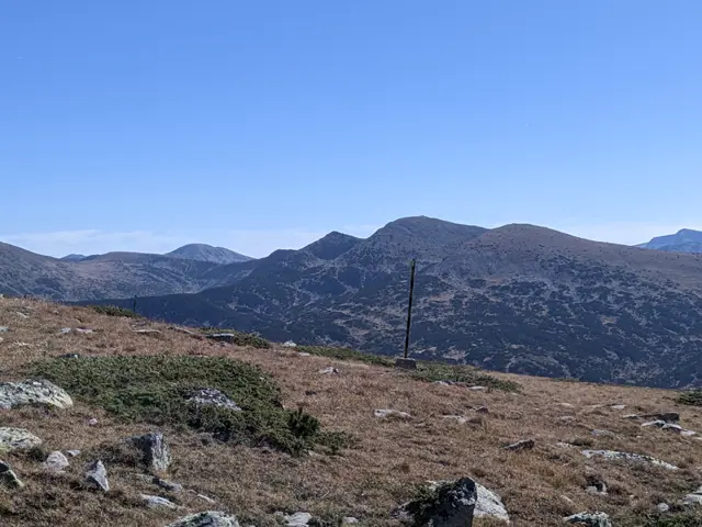
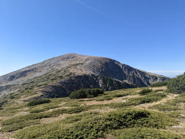
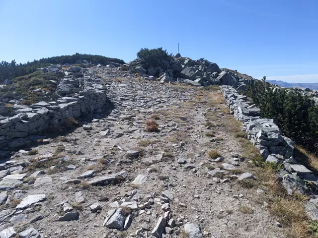
Descending from Lopushki Peak to the northwest is not the most pleasant part of the route - it is long and you have to walk over stones. Once we get down, more climbing awaits us: there are two smaller peaks between Lopushki Peak and Mechit that will tire us out a bit. Between them, we will see the Kaiser's (Ferdinand's) Road for the first time; our trail meets and leaves it several times before finally merging with it. Mechit Peak will be on our left, and we will need to detour briefly from the road to climb up to it, so we should watch for the turnoff as we approach.

From the summit, a large part of Rila is visible, including Lake Jozola - the only lake in sight around here.
Download segment GPX
Ascent / descent↑0 m ↓810 mTechnical difficultyT2Fitness difficultyTerrainAlpine · ForestSurfaceDirt path · Dirt road

From here to the hut, it is downhill all the way along the road.

Download segment GPX
The route and GPX file are approximate and may have been submitted or verified by a user like you. Check the source, date, forecast, restrictions, and your own preparedness. Don't rely solely on your phone or a single GPS track. In case of immediate danger, call 112.
Росен Пантелеев

Trail contributed by

Росен Пантелеев

46 trails·212 places·2 reviews·Member since Apr 2026

Reviews

No reviews yet.